Skilled Rural Cadastral Surveys in Townsville & Northern Queensland
If you're a rural property owner in Townsville & surrounding areas, you understand the importance of having accurate and up-to-date information about your land boundaries. At Atkinson Surveys, our team of experienced surveyors are here to help you define and adjust land boundaries between multiple properties, to correct existing encroachments or land management issues. We understand that each property is unique, and our surveys are tailored to meet your specific needs.
Rural Cadastral Surveys
This service concerns the work required to define and adjust the land boundaries between two or more freehold properties. A boundary realignment intends to alter boundaries to correct an existing encroachment or land management problem. The changes associated with boundary realignment surveys are generally minor, and areas and dimensions do not change significantly. It is not the intention that any boundary realignment service should be considered for any significant layout changes, and these types of major changes to the lot boundaries would be considered as a subdivision service which is detailed below.
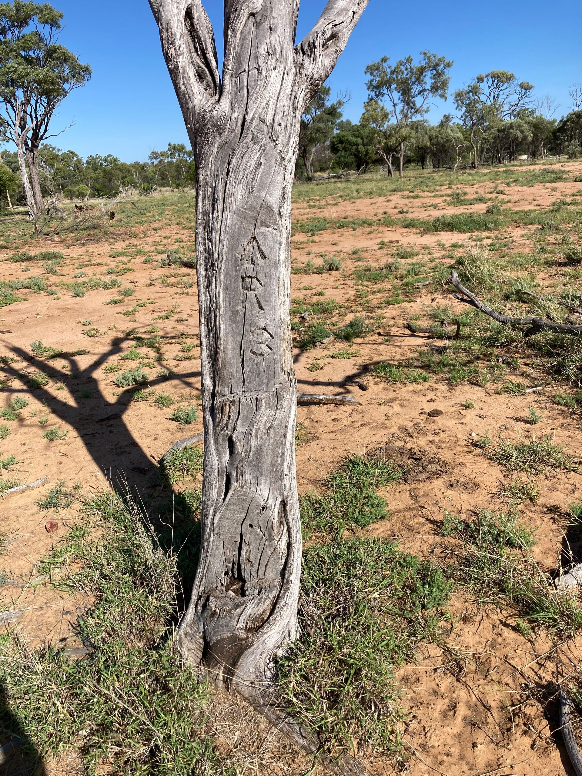
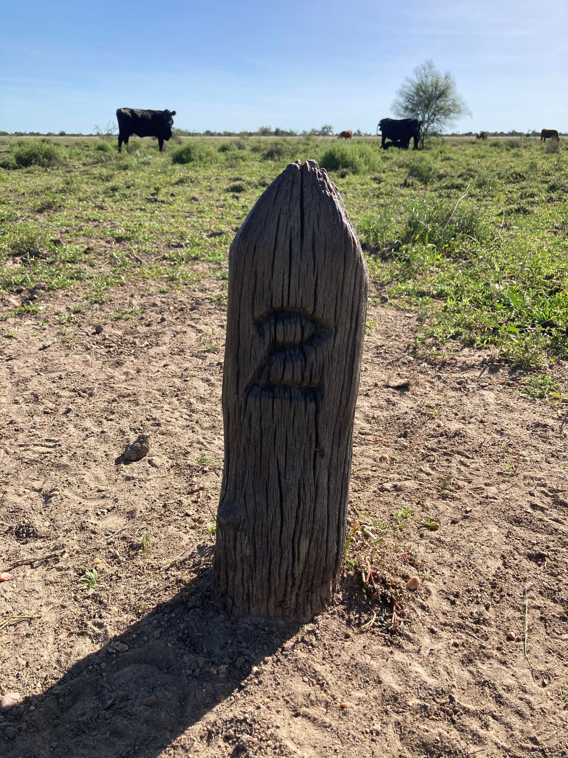
Identification Surveys
This type of service means we will identify and mark your existing property boundaries. This may be required for several reasons, the most common being when you plan to erect a fence or construct some form of structure on your property, and you wish to have confidence that you are not building over your boundary line onto your neighbour's property.
Our experienced surveyors are dedicated to ensuring all the necessary information about a particular property is obtained and accurately reported. They will take careful measurements of any buildings or fences on the land and document existing easements for purposes such as drainage. We also make it easy for owners by ensuring accuracy in details like wall/boundary distances when dealing with residential properties.
Sub-Divisions & Easements
This service involves the identification and creation of new property boundaries. This occurs when a larger property is divided into two or several smaller lots. This also includes when buildings are subdivided for sale or lease of individual units. Atkinson Surveys are well equipped and experienced in providing this type of service.
Mining Surveys
Atkinson Surveys provides comprehensive surveying services to the mining sector within the Mount Isa area. Our expertise goes beyond just mapping boundaries - we are trusted by clients to accurately measure both open-cut and subterranean mines, identify any safety hazards, and establish connection points between different underground passes. As part of our service offering, our mine surveyors establish the boundaries of mining claims in some states and territories. By trusting the experienced team from Atkinson Surveys when undertaking your next mining project, you can be sure it is done safely and efficiently.
If you are unsure of what service you require, please get in touch with us on 07 4723 4885, and we will be able to provide the appropriate advice.